
Larval Modeling to Marine Management & Zonation

How connectivity-informed spatial planning strengthens fishery recovery.
Across Indonesia’s coasts, fish populations are under pressure. Overfishing, fragmented management, and weak spatial planning have disrupted natural replenishment systems.
Fish populations are connected by invisible highways — ocean currents that carry larvae from spawning sites to nursery grounds. If we understand those highways, we can design smarter, community-led marine management.

Larval modeling helps us see what the eye cannot.

What Is Larval Modeling?

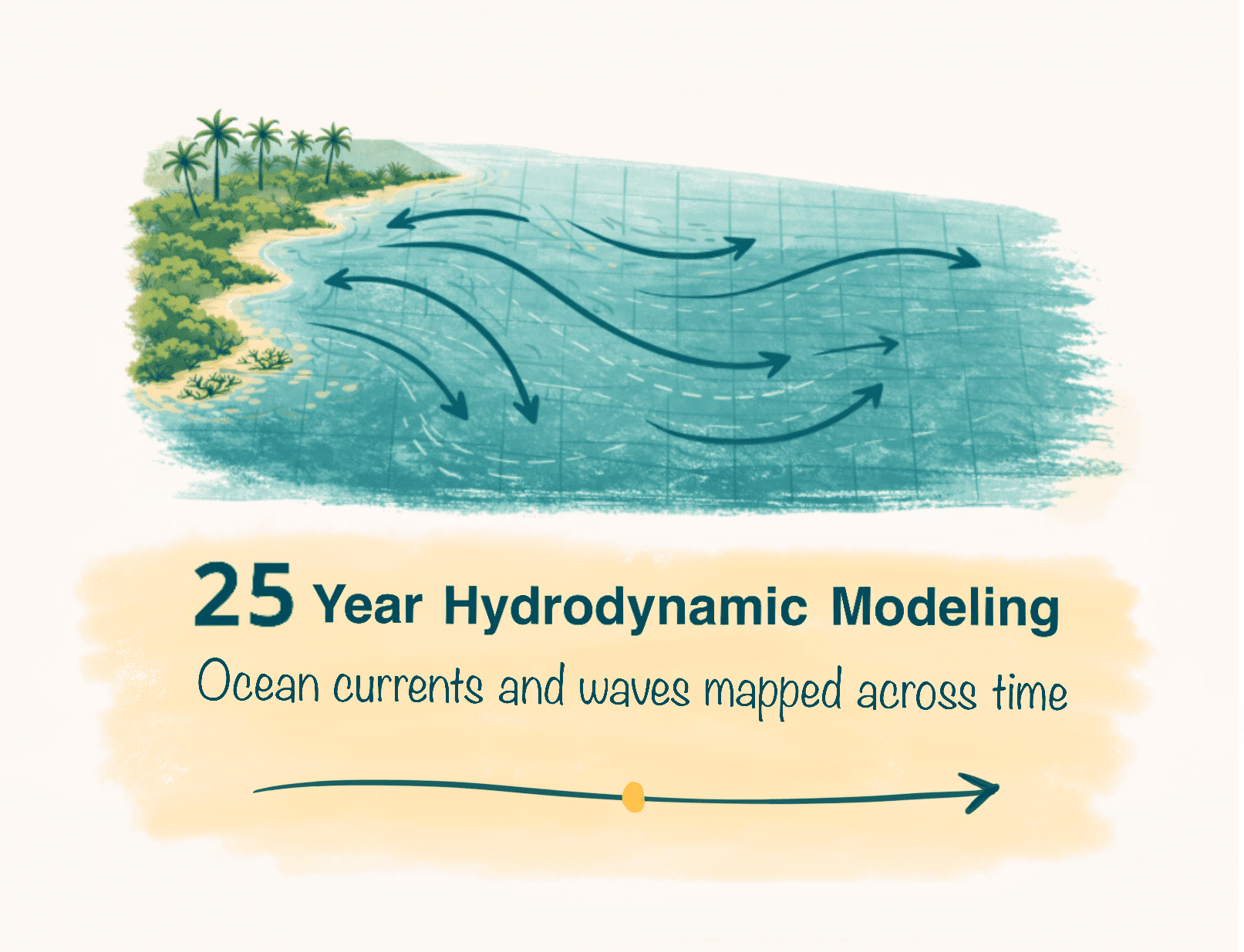
Step 1 – Hydrodynamic Modeling
Ocean currents and wave dynamics are modeled over a 25-year period to understand long-term circulation patterns.
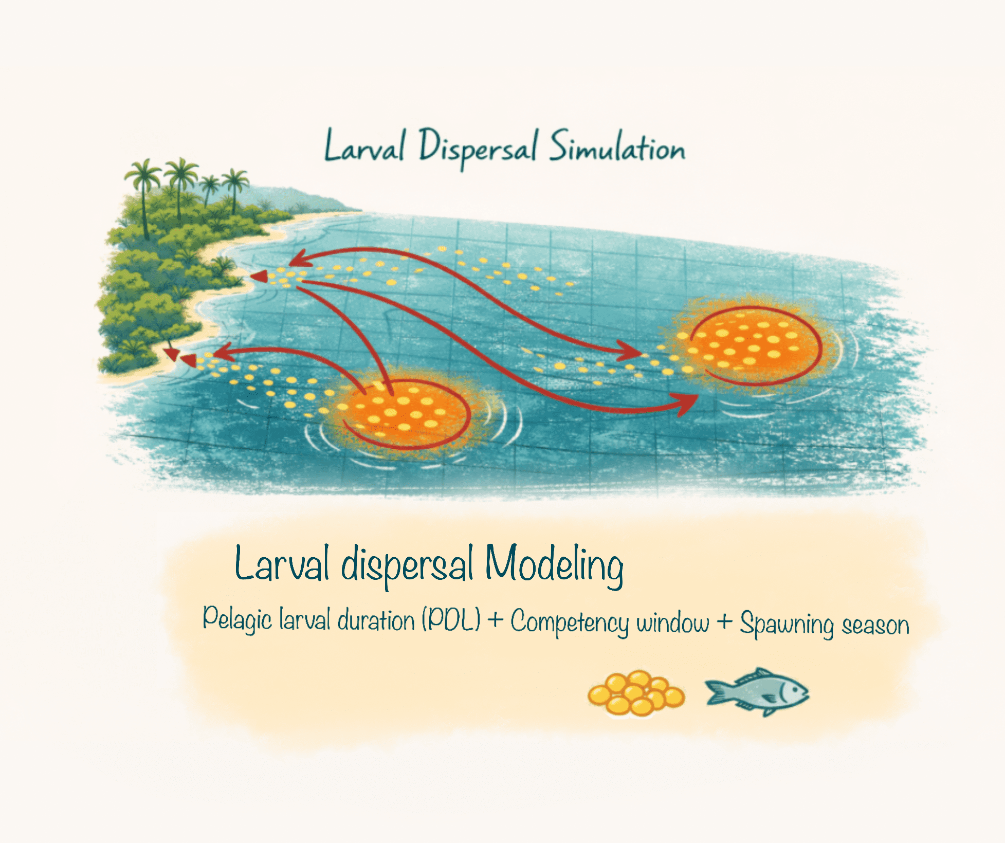
Step 2– Larval Dispersal Modeling
“Electronic larvae” are released from different coastal points. Their movement is simulated based on:
Pelagic larval duration (PLD)
Competency window
Spawning season
Homing behavior
This allows us to measure
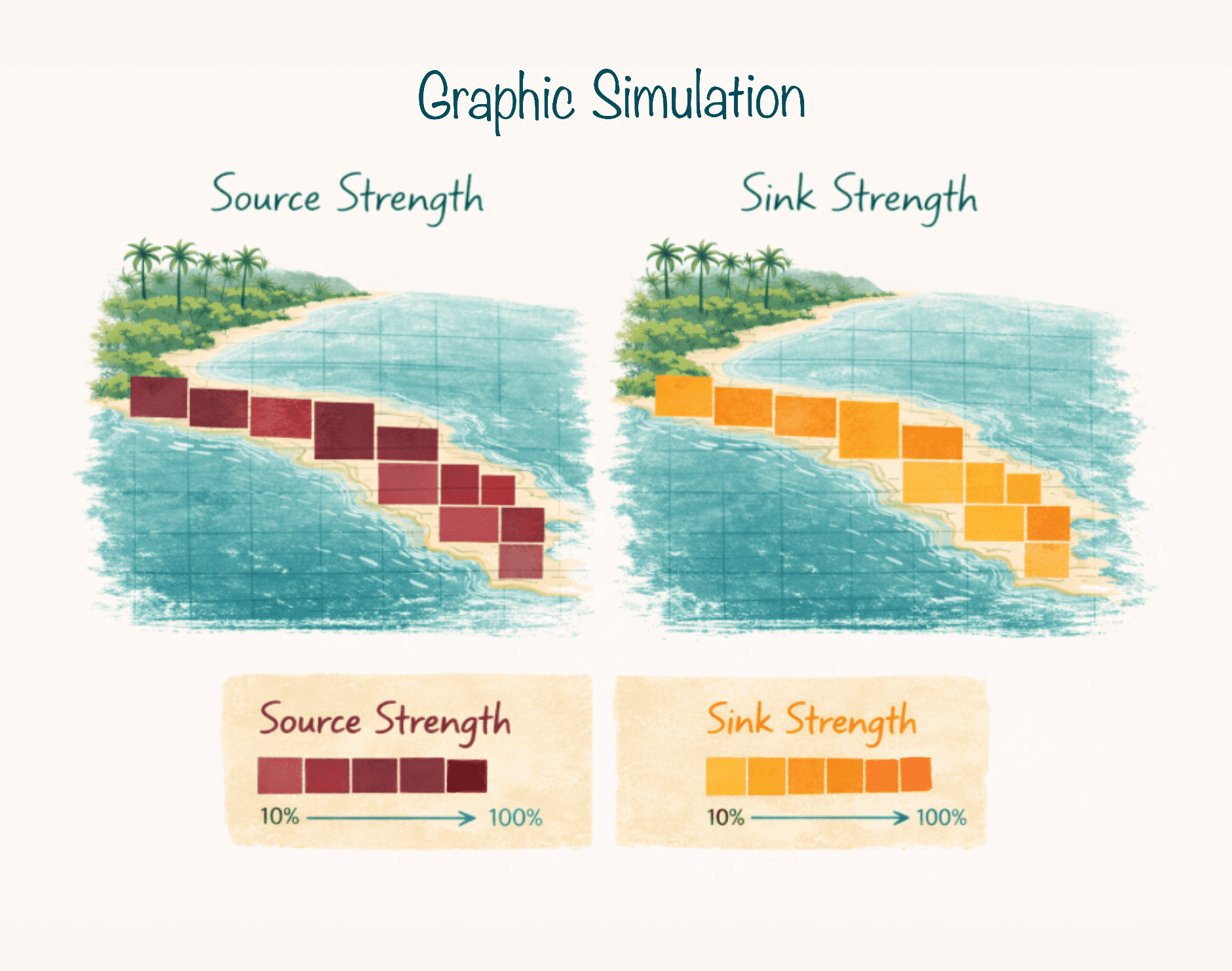
Source value
+ How much larvae a location exports
Sink value
+ How much larvae a location receives
We then assign production and recruitment value to each coastal grid cell.
This gives us a connectivity map of the seascape.
Species Modeled
We modeled species important for local livelihoods and as indicators of biodiversity.
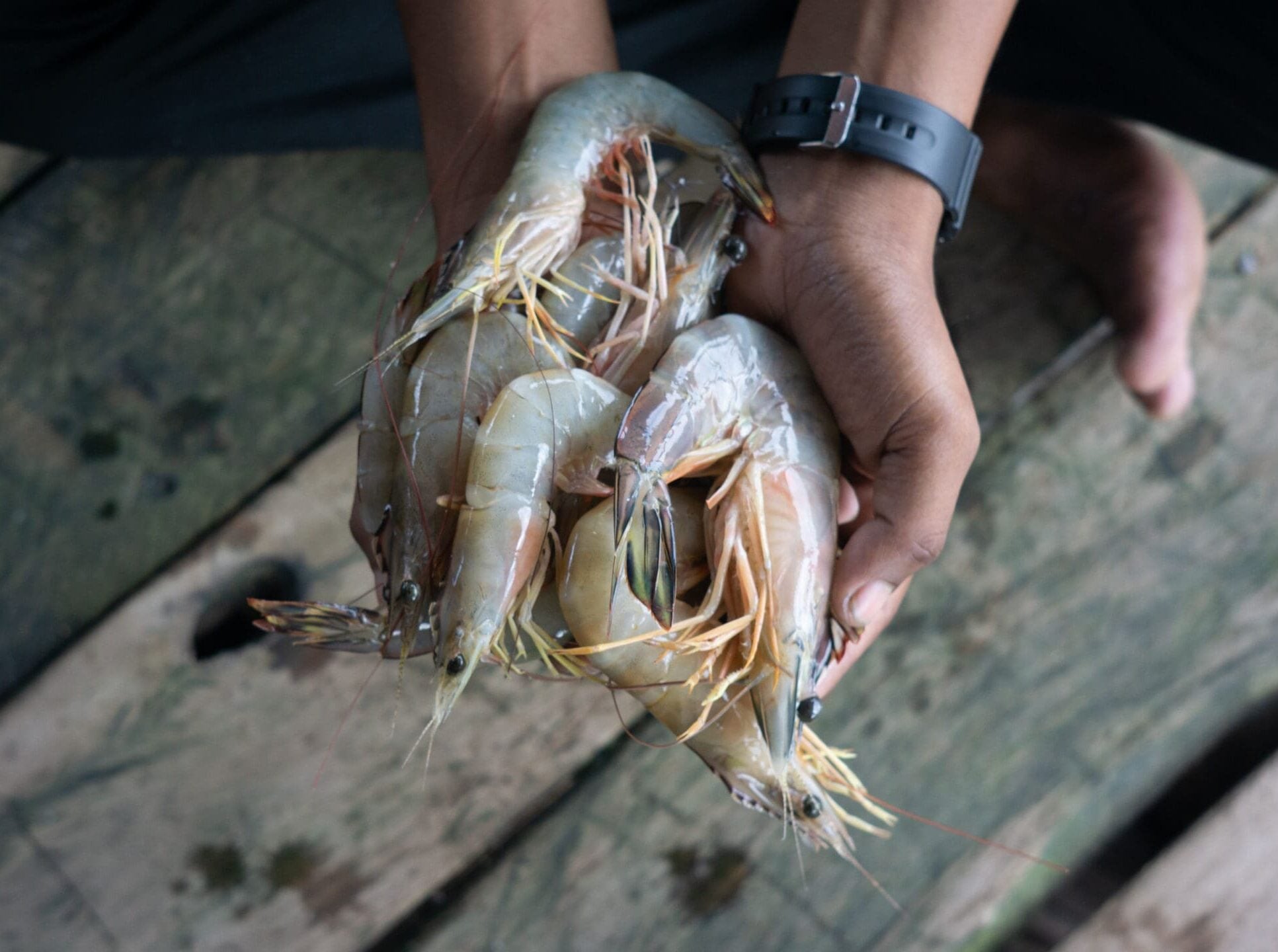
This included Mudcrabs, Pomfret, Grouper spp, Snapper spp, and Shrimp. We look at the grid along the coast and model the source and sink values of each site.
What the Model Produces
Heat maps of larval export (sources)
Heat maps of larval settlement (sinks)
Connectivity matrices (who connects to whom)
Grid-level production scores
Network strength values
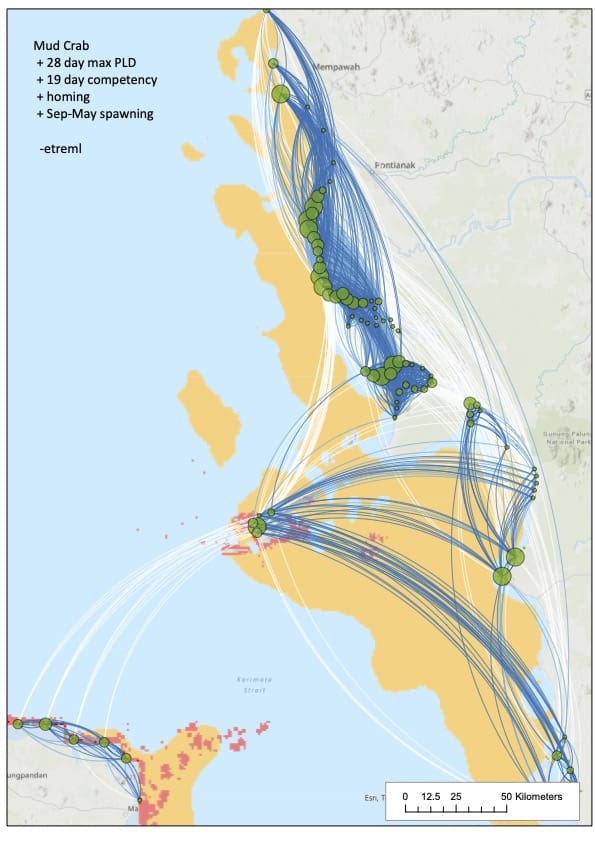
Fig 1. Example model output: Larval Connectivity and Dispersal Patterns of Mud Crabs (Scylla spp.) in West Kalimantan, Indonesia
From this, we can classify sites:
Type
Description
Strong Source
Strong Sink
Weak Node
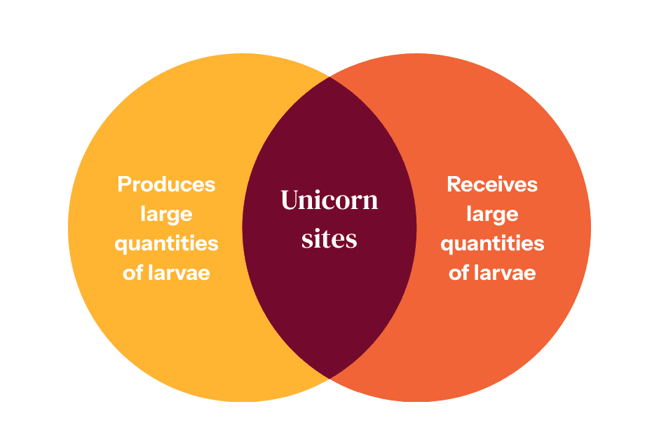
Unicorn Site
High larval production, exports widely
High settlement, critical recruitment zone
Low export and low settlement
High source and high sink
Finding “Unicorn” Sites
A unicorn site is rare.
These areas:
Stabilize regional fisheries
Increase resilience to collapse
Buffer environmental shocks
Strengthen network recovery speed
Instead of protecting random reefs,
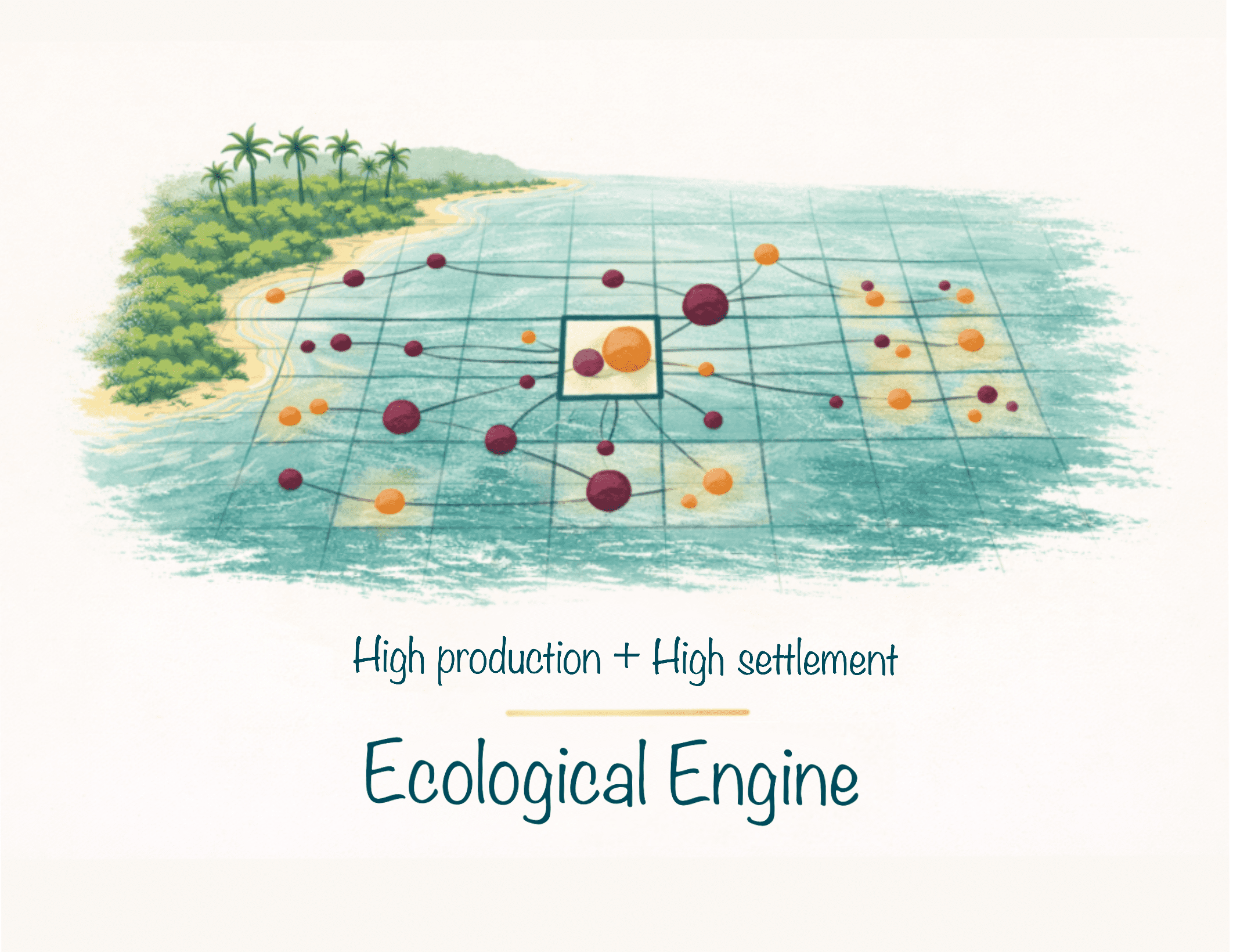
we can now protect ecological engines.
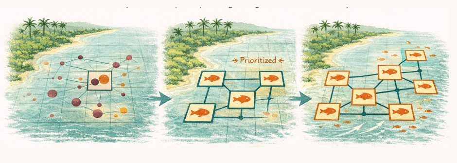
 From Modeling to Zonation
1. High-value ecological nodes identified.
2. Core no-take zones strategically placed.
3. Networks designed instead of isolated MPAs, avoiding protecting low-connectivity areas with limited impact.
Connectivity-informed zoning strengthens:
Spillover effects
Recruitment consistency
Long-term fish biomass rebuilding
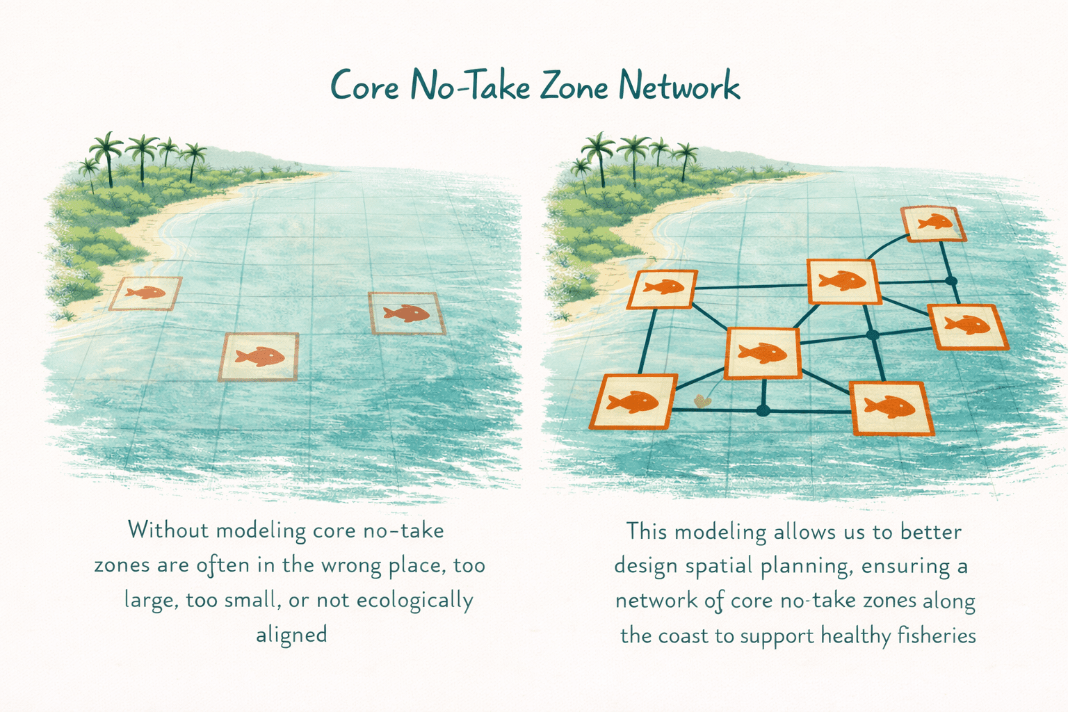
 Core No-Take Zones as a Network
Core no-take zones act like, spawning banks, larval production hubs and insurance systems for fisheries.
When strategically placed:
This creates a self-reinforcing ecological network.
Not isolated protection. But distributed regeneration.
Putting this in practice
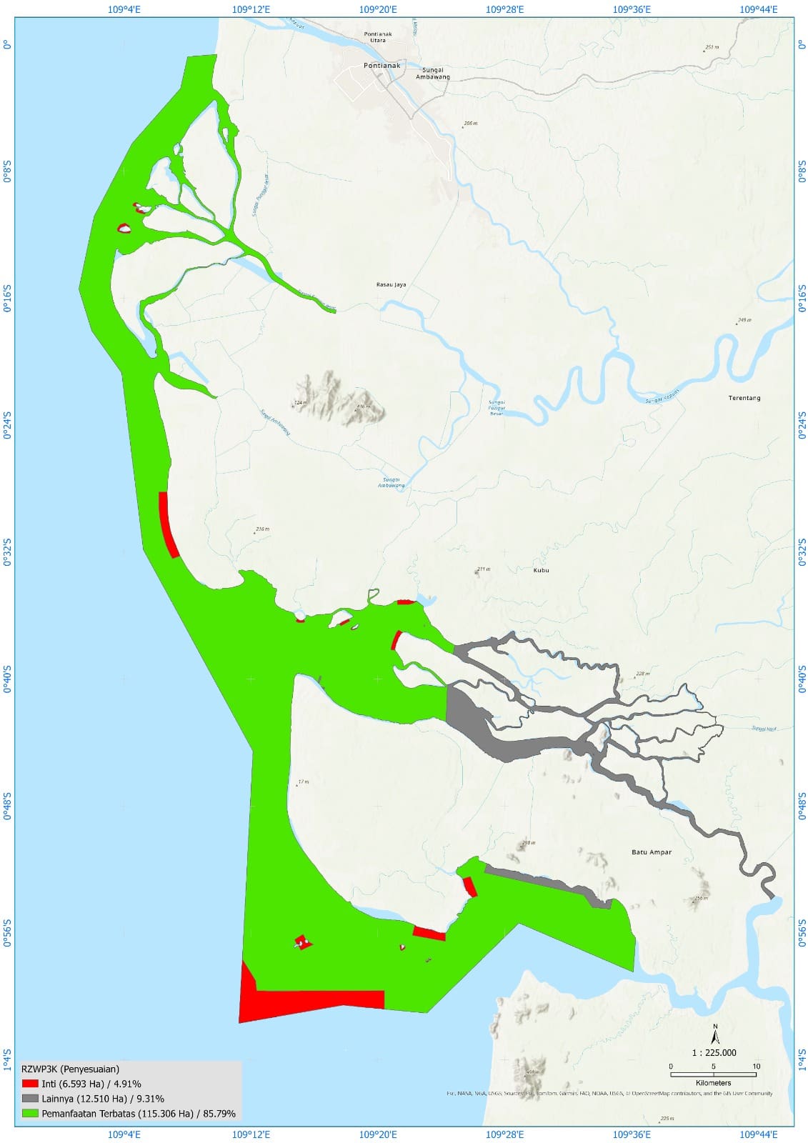
We have recently applied this approach to help communities successfully rezone over 380,000 ha of marine coastline and small islands - indirectly impacting the livelihoods of over 15,000 fishers.
Before
After
Above Fig: Before and After maps of the rezoning of the Karimata Marine Reserve

Right Fig: After maps the rezoning of Kubu Raya Coastal area
Why This Matters for Communities
When there is robust ecological data that can be used for sustainable resource management practices, combined with participatory mapping of an area, it opens the door for communities to advocate strongly to governments for community management and recognition. This can lead to the protection of rights and tenure for communities, a greater abundance of biodiversity, spill-over events leading to stronger food security and livelihoods, creating a resilient foundation for future generations.
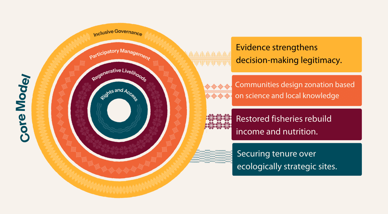
Connecting this to Our Core Model
SUMMARY

Here are the major points of the findings:

By using a two-step process—mapping 25 years of hydrodynamic circulation patterns and simulating the movement of "electronic larvae" based on specific species' traits—the model creates a comprehensive connectivity map of the seascape. This allows managers to measure exactly how much larvae a location exports (source value) or receives (sink value).


Rather than protecting all or arbitrary areas, modeling allows for the identification of "Unicorn Sites," which are rare locations that serve as both high-value sources and high-value sinks. These sites act as "ecological engines" that:

  • Stabilize regional fisheries and increase resilience to population collapse.

  • Buffer environmental shocks and accelerate the speed of network recovery.

  • Encourage spillover effects and ensure consistent recruitment of key species like mud crabs, groupers, and snapper.

Integrating larval modeling with participatory mapping provides a powerful evidence base for communities to advocate for formal government recognition and management rights. This approach has already been used to successfully rezone over 380,000 hectares of coastline and marine areas, impacting the livelihoods of more than 15,000 fishers. By designing networks of core no-take zones rather than isolated protected areas, communities can secure their long-term food security and livelihoods while protecting critical biodiversity hotspots.

Sign up to recieve news and updates.

© 2024 Planet Indonesia

Planet Indonesia is a 501(c)(3) nonprofit organization.

 By signing up you agree that we can contact you via our email newsletter and to our Terms and Conditions and Privacy Policy.

The term ‘integrated landscape initiative’ (ILI) has gained popularity as an ‘umbrella concept’ that describes projects that aim to explicitly improve food production, biodiversity conservation, and rural livelihoods on a landscape scale.

It describes approaches that consider the entire landscape, including its environmental, social, and economic aspects, by bringing together diverse stakeholders to manage land use in a way that balances competing needs, aiming for sustainable outcomes across the whole system, rather than focusing on isolated issues within the landscape.